Planet Labs Restores Middle East Satellite Imagery After Four-Month Blackout
Planet Labs PBC, the U.S. company that operates the world’s largest fleet of Earth‑observation satellites, has removed the administrative block that prevented access to imagery of Iran and other conflict‑affected areas in the Middle East. The decision follows a four‑month period during which the company, at the request of the U.S. government, withheld all publicly available data for the region.
The blackout began on 5 April 2026 when Planet Labs announced it would “indefinitely withhold” satellite imagery covering Iran and the broader Middle East conflict zone. The move was a response to a request from the U.S. administration following a series of military strikes by the United States and Israel against Iranian targets in March 2026. While the satellites continued to collect data and transmit it to Planet’s ground‑station network, the company’s cloud‑native software filtered the imagery from public view, replacing it with data‑withheld notices.
During the embargo, commercial customers, humanitarian agencies and open‑source intelligence (OSINT) analysts had no access to the high‑resolution images that Planet’s PlanetScope and SkySat constellations had been capturing daily. The blackout created a digital vacuum at a time when the region was experiencing intense conflict and rapid changes to infrastructure.
Planet Labs has now lifted the restrictions, making the previously withheld imagery available for download and analysis. The company’s statement notes that the data had been stored in its centralized databases and is now being released to the public and to its subscription customers.
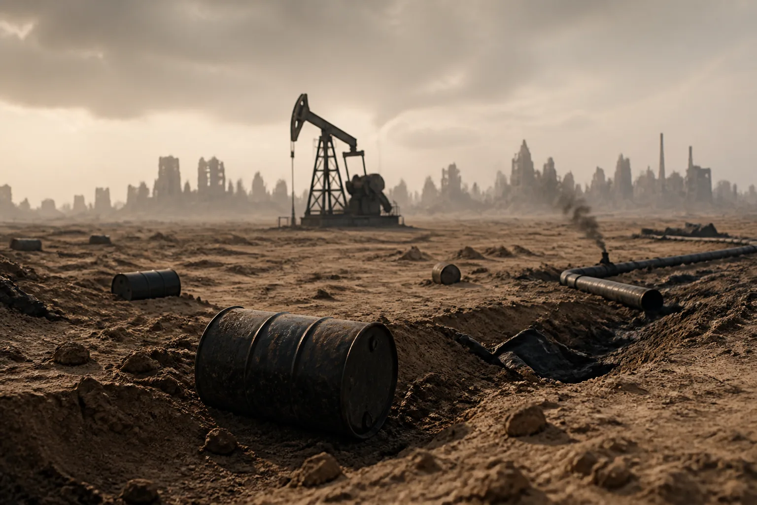
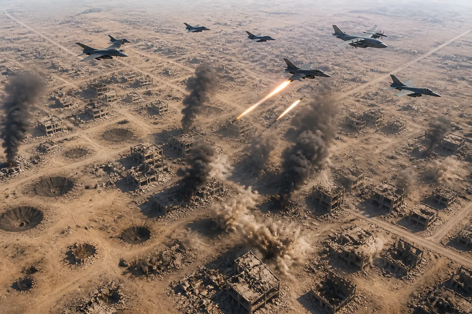
The newly available archive provides a detailed, point‑by‑point record of the damage that occurred during the blackout. Early analysis of SkySat strips from the Isfahan and Bushehr sectors shows extensive destruction of military facilities. The imagery documents weapon‑crater indices, the collapse of structures at advanced drone assembly sites, and the rapid construction of underground fortifications. Analysts are using the data to reconstruct a timeline of the conflict, correlating satellite observations with reports from ground sources.
The incident highlights the growing role of commercial space operators in national security. Historically, “shutter control” – the legal ability of a state to prevent the release of satellite imagery – was rarely exercised. The emergence of low‑Earth‑orbit megaconstellations that can revisit the same area daily has made it easier for governments to impose temporary filters on commercial data streams.
Planet Labs, which was founded in 2010 and went public in 2021, has contracts with several U.S. government agencies, including the Office of the Assistant Secretary for the National Aeronautics and Space Administration (NASA) and the U.S. Department of Defense. The company’s decision to comply with the U.S. request demonstrates how commercial infrastructure can be leveraged for wartime censorship.
The restoration of imagery also has implications for humanitarian and scientific communities. Researchers can now assess the extent of damage to civilian infrastructure, evaluate the effectiveness of military strikes, and monitor post‑conflict reconstruction. The data will also feed into global monitoring programs that track changes in land use, urban development, and environmental impacts.
The 2026 Iran war, which began in March 2026, saw a series of coordinated strikes by U.S. and Israeli forces against Iranian missile and nuclear facilities. Satellite imagery released after the blackout has confirmed extensive damage to key sites, including the Isfahan missile complex and the Bushehr nuclear plant.
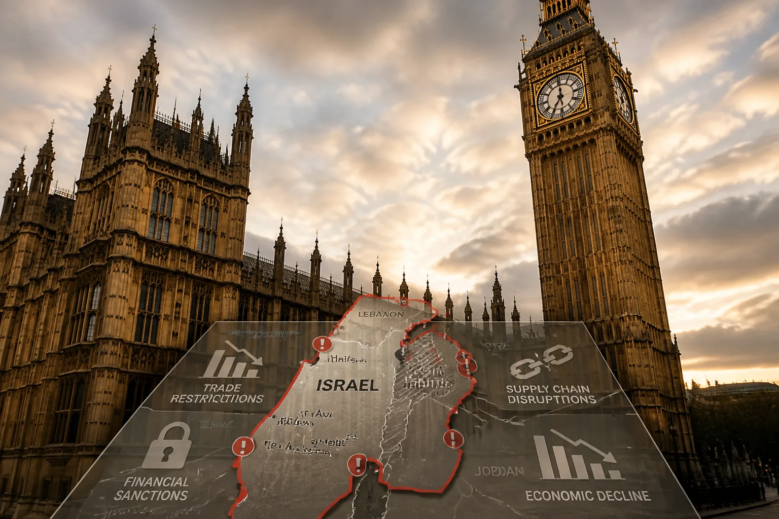
Planet Labs’ action underscores the need for clear policies governing the use of commercial satellite data during conflicts. While the company has restored access, the episode raises questions about how future embargoes will be managed, who will decide when to block or release imagery, and how to balance national security interests with the public’s right to information.
In the immediate term, the company’s data is available to its subscribers and to the broader research community. Analysts are already processing the data cubes to produce detailed maps of the conflict zones. The restored archive will likely become a key resource for scholars, journalists, and policymakers seeking to understand the dynamics of the 2026 conflict.
The incident serves as a case study for the evolving relationship between commercial space operators and sovereign security agencies. As LEO constellations grow in number and resolution, the boundary between commercial transparency and wartime censorship will continue to shift.
Planet Labs’ decision to lift the blackout marks the end of a period of restricted access and opens a new window for analysis of the Middle East’s conflict landscape. The company’s data will now be available for the first time in months, allowing a more comprehensive assessment of the war’s impact on the region’s infrastructure and civilian life.